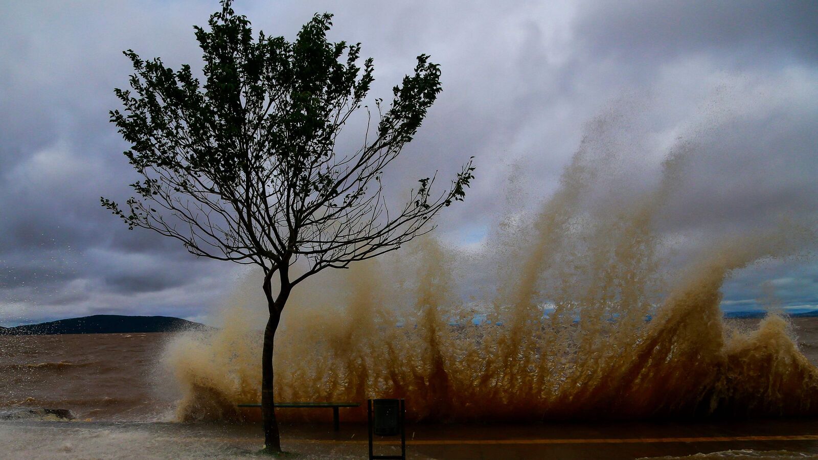
The IMD said that a low-pressure area formed over the south Andaman Sea may cross the Andhra Pradesh-South Odisha coasts on 5 December as a very severe cyclonic storm.
Cyclone Michaung likely to form over Bay of Bengal. The India Meteorological Department (IMD) issued a weather forecast on 27 November, stating that a cyclonic storm named ‘Michaung’ is expected to develop over the southwest Bay of Bengal around 1 December. According to the IMD, a low-pressure area formed over the South Andaman Sea and adjoining Malacca Strait due to the influence of a cyclonic circulation on the previous day. This low-pressure area is likely to move west-northwestwards and intensify into a depression over the southeast Bay of Bengal by 29 November.
Subsequently, Cyclone Michaung is expected to move northwestwards and further intensify into a cyclonic storm over the southeast Bay of Bengal within the next 48 hours. The Tropical Weather Outlook issued by the IMD indicates the formation of a depression over the South Bay of Bengal between 29-30 November.
It also predicts the intensification of this depression into a cyclonic storm and its northeastwards recurvature. However, the specific location, timing of formation, and point of recurvature may vary. Senior meteorologist Jason Nicholls previously tweeted about a tropical low crossing the Malay Peninsula towards the Andaman Sea, which has the potential to become a depression in the Bay of Bengal by midweek.
There is a good chance that it may develop into Cyclonic Storm Michaung, posing a threat to eastern India or Bangladesh by the following weekend or early the next week. If this cyclone forms, it will be named Cyclone Michaung, as suggested by Myanmar. It would be the sixth cyclone in the Indian Ocean and the fourth in the Bay of Bengal this year. The IMD has issued a warning, stating that a low-pressure area near the Andaman and Nicobar Islands may intensify into a cyclonic storm over the Bay of Bengal around 29 November.
What IMD said, Cyclone Michaung
The weather agency stated that there is a possibility of the system moving west-northwestwards and strengthening into a depression over the southeast Bay of Bengal by November 29. Subsequently, it is expected to continue moving northwestwards and intensify further into a cyclonic storm over the same region within the next 48 hours. However, the meteorological department has not yet made any predictions regarding its potential movement towards the coast and landfall.

Nevertheless, due to Cyclone Michaung an orange alert has been issued by the IMD for the area on November 28 and 29. According to the agency, the Andaman & Nicobar Islands are likely to experience isolated heavy to very heavy rainfall (115.6 to 204.4 mm) and gusty winds (40-50 km) on November 28th and 29th. Earlier today, the meteorological department reported the presence of scattered to broken low and medium clouds with intense to very intense convection over the South Andaman Sea.
It also mentioned that sea conditions are expected to be moderate to rough in the south Andaman Sea and Andaman Nicobar Islands due to Cyclone Michaung. The cyclonic storm ‘Midhili’ formed when a deep depression over the Bay of Bengal intensified on Friday morning. This led to heavy rainfall in the northeastern states of Tripura and Mizoram. As a result, the Tripura government declared a holiday for all government and private schools as well as Anganwadi centers in the state. Air services were also significantly affected.
During this season, ‘Midhili’ became the second deep depression, following the previous cyclone ‘Hamoon’ which also moved towards the coast of Bangladesh, and now Cyclone Michaung.
How are cyclones named?
If the speed of a cyclone is more than 34 nautical miles per hour then it becomes necessary to give it a special name. If the speed of the storm reaches or crosses 74 mph, it is then classified into a hurricane/cyclone/typhoon.
The cyclones that are formed in any ocean basin around the world are named by the Regional Specialised Meteorological Centres (RSMCs) and Tropical Cyclone Warning Centres (TCWCs). There are a total of six RSMCs in the world, including the India Meteorological Department (IMD).
The World Meteorological Organization (WMO) and the United Nations Economic and Social Commission for the Asia Pacific (ESCAP) have been naming cyclonic storms since 2000. The India Meteorological Department (IMD) names the cyclones developing over the north Indian Ocean, including the Bay of Bengal and the Arabian Sea. It also issues advisories to 12 other nations in the region on the development of cyclones and storms.
In 2000, a group of nations called WMO/ESCAP– Bangladesh, India, the Maldives, Myanmar, Oman, Pakistan, Sri Lanka and Thailand– decided to name cyclones in the region. In 2018, five more countries were added– Iran, Qatar, Saudi Arabia, United Arab Emirates and Yemen. After the aforementioned countries sent in suggestions, the WMO/ESCAP Panel on Tropical Cyclones (PTC) finalise the list.
In April 2020, IMD released a list of 169 cyclone names. 13 suggestions were sent in by the aforementioned WMO/ESCAP member nations.
Aircraft Carrier worth ₹40,000 crore ($4.8 billion) to be added by India to Bolster its Naval Fleet
