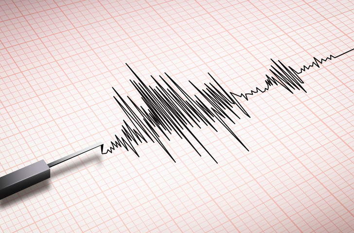
Introduction: A Day Shaken by Earthquake, Ladakh & Bangladesh
Imagine waking up to the ground beneath your feet performing a subtle dance – that’s precisely what unfolded today. Ladakh felt a 3.4 magnitude quake at 8:25 a.m., while Bangla desh, on the same seismic stage, experienced a more robust 5.8 magnitude quake at 9:35 a.m. The Earth’s whispers turned into palpable tremors, leaving both regions in a momentary state of vulnerability.
Earth quakes Unveiled: Bangladesh’s Morning Jolt of 5.8 Magnitude
As the sun rose in Bangladesh, an earth quake jolted the nation at 9:35 a.m., creating a seismic ripple felt far and wide. The 5.8 magnitude quake, with a depth of 10 kilometers, originated east of Ramganj in the Lakshmipur district. The capital, Dhaka, and beyond trembled, yet, amidst the chaos, a silver lining emerged – no immediate reports of damage or injuries.

Ladakh’s Encounter: A 3.4 Magnitude Morning Wake-Up Call
Meanwhile, in the northernmost region of Ladakh, a 3.4 magnitude earth-quake, as reported by the National Center for Seismology at 8:25 a.m., added its unique rhythm to the Earth’s symphony. Though relatively milder than its Bangladeshi counterpart, it highlighted the unpredictability that defines our planet’s seismic narrative.
Facebook Chronicles: Tales of Fear and Solidarity
In the age of connectivity, social media platforms like Facebook became the canvas for the emotional aftermath. Terrified Bangladeshis shared their experiences, turning the virtual space into a collective refuge for the shaken. It’s a testament to the shared human experience – the fear that transcends borders when nature’s force makes its presence felt.
Seismic Twins: Leh and Ladakh in Zone IV
Leh in Ladakh and Bangladesh’s trembling territories find themselves in Seismic Zone IV, a designation signaling a significant vulnerability to earth quakes. Nestled in the tectonically active embrace of the Himalayan region, these areas are not strangers to the Earth’s occasional tantrums. Like twins sharing a predisposition, they navigate the quakes with an awareness that’s become second nature.
Decoding Vulnerability: Zones and Earth quakes
Understanding the seismic landscape demands a peek into the scientific evaluations that dictate our preparedness. The Bureau of Indian Standards (BIS) has meticulously categorized the nation into four seismic zones – V, IV, III, and II. Each zone narrates a unique story of vulnerability, with Zone V facing the highest seismicity, a stark contrast to Zone II, which experiences the lowest.
Conclusion: Earth’s Dynamic Ballet
As Ladakh and Bangladesh return to their routines, the echoes of today’s quakes linger. These seismic episodes serve as stark reminders of our shared existence on a dynamic planet. Just as the Earth’s movements defy prediction, so does our collective resilience in the face of unexpected challenges. Today, Ladakh and Bangladesh danced to Earth’s tunes, leaving us to marvel at the intricate choreography of our living,breathing planet.
| Magnitude | Origin Time | Lat | Long | Depth | Region | Location |
| 5.6 | 2023-12-02 09:05:31 | 23.15 | 90.89 | 55 | Bangladesh | 60km W of Belonia, Tripura, India |
| 3.4 | 2023-12-02 08:25:38 | 35.44 | 77.36 | 10 | Ladakh | 137km N of Alchi(Leh),Jammu & Kashmir,India |
| 4.8 | 2023-12-01 23:06:32 | 24.29 | 98.24 | 5 | China | 353km NE of Burma, Myanmar |
| 4.4 | 2023-12-01 20:25:59 | 39.20 | 97.30 | 70 | China | 1235km SW of Ulaanbaatar, Mongolia |
Government of India
About National Center for Seismology
National Center for Seismology (NCS) is the nodal agency of the Government of India for monitoring earth quake activity in the country. NCS maintains the National Seismological Network of 155 stations each having state of art equipment and spreading all across the country.NCS monitors earth-quake activity all across the country through its 24×7 around-the-clock monitoring center. NCS also monitors earth-quake swarm and aftershock by deploying a temporary observatory close to the affected region.
Apart from quake monitoring, NCS is also actively involved in Seismic Hazard Microzonation and seismological research. The major activities currently being pursued by the NCS are:
- Earth-quake monitoring on a 24X7 basis.
- Operation and maintenance of national seismological network comprising of 155 Stations.
- Maintenance of Seismological data center and information services.
- Seismic hazard microzonation related studies.
- Aftershock/Earth-quake swarm monitoring/survey.
- Understanding of Earth-quake processes.
- Public outreach.
Monitoring Background:
The history of instrumental earth-quake monitoring in India dates back to 1898 when the first seismological observatory of the country was established at Alipore (Calcutta) on 1 December 1898 after the great Shillong plateau earth-quake of 1897. The occurrence of devastating earth-quakes such as the 1905 Kangra earth-quake, 1934 Nepal-Bihar, Assam, and many other strong earth-quakes, necessitated strengthening the national seismological network progressively from a paltry 6 in 1940 to 8 in 1950, 15 in 1960, and 18 in 1970. The early 1960s marked a very important landmark in the history of seismic monitoring when the WWSSN(World Wide Standardized Seismic Network) stations started functioning globally.
